Värmdö
| Värmdö | |
 Héraldique |
|
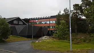 Hôtel de ville de Värmdö. | |
| Administration | |
|---|---|
| Pays | |
| Province historique | Uppland |
| Comté | Stockholm |
| Siège | Gustavsberg |
| Démographie | |
| Population | 41 107 hab. (2020) |
| Densité | 94 hab./km2 |
| Géographie | |
| Coordonnées | 59° 20′ 00″ nord, 18° 23′ 00″ est |
| Superficie | 43 800 ha = 438 km2 |
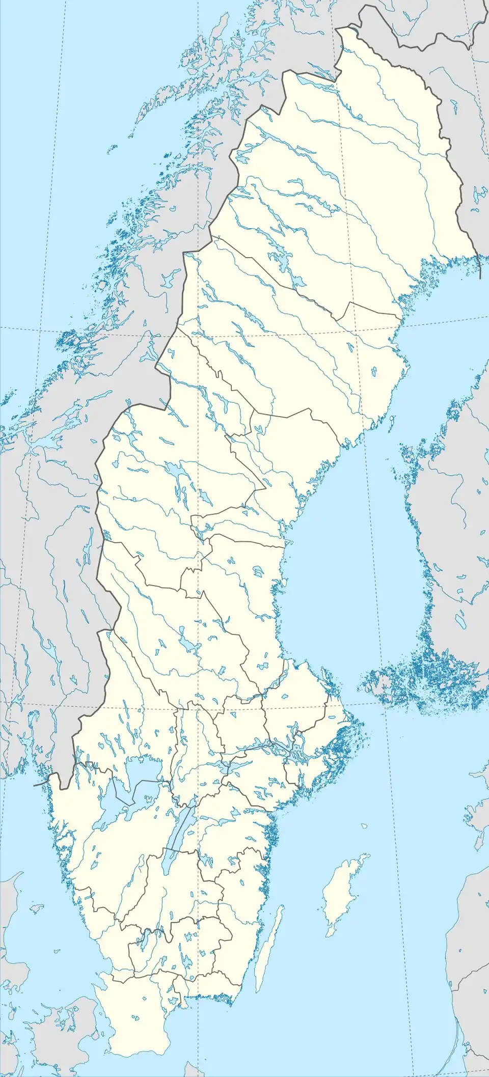
| Localisation | |
 Carte de localisation de la commune dans son comté. | |
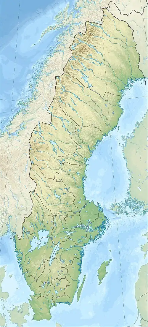
La commune de Värmdö est une commune suédoise du comté de Stockholm. Elle compte 41 107 personnes. Son chef-lieu est Gustavsberg.
Population
Subdivisions administratives
Districts
Depuis 2016, la commune est divisée en 17 Localités :
| Les 17 localités de la commune de Värmdö | Carte |
|---|---|
|
 |
Références
- ↑ (sv) « Befolkning i tätorter 1960-2010 », Statistiska centralbyrån, (consulté le )
- ↑ (sv) « Statistiska tätorter 2023, befolkning, landareal, befolkningstäthet per tätort », SCB, (consulté le )
- ↑ (sv) « Statistiska centralbyrån - Folkmängd i tätorter 1960-2012 »
- ↑ (sv) Statistiska meddelanden Be 1967:21 Tätorternas areal och folkmängd 1960 och 1965, Stockholm, Statistiska centralbyrån, , p. 85
- ↑ (sv) Statistiska meddelanden. Tätorter 1990: Befolkning och areal i tätorter och glesbygd, reviderade uppgifter, Stockholm, Statistiska centralbyrån, (lire en ligne), p. 54
- ↑ (sv) « Statistiska centralbyrån: Landareal per tätort, folkmängd och invånare per kvadratkilometer. Vart femte år 1990 - 2010 »
Voir aussi
Liens externes
- Site officiel
- Ressource relative à la musique :
- Notices dans des dictionnaires ou encyclopédies généralistes :
 Portail de la Suède