Großwarasdorf
| Großwarasdorf | ||||
 Héraldique |
||||
| Administration | ||||
|---|---|---|---|---|
| Pays | ||||
| Land | ||||
| District (Bezirk) |
District d'Oberpullendorf | |||
| Code postal | A- | |||
| Indicatif | 43+ | |||
| Démographie | ||||
| Population | 1 381 hab. ([1]) | |||
| Densité | 32 hab./km2 | |||
| Géographie | ||||
| Coordonnées | 47° 27′ nord, 16° 36′ est | |||
| Altitude | 244 m |
|||
| Superficie | 4 250 ha = 42,5 km2 | |||
| Localisation | ||||
| Géolocalisation sur la carte : Autriche
Géolocalisation sur la carte : Autriche
Géolocalisation sur la carte : Burgenland
| ||||
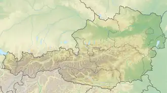

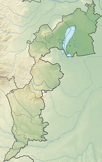
Großwarasdorf est une commune autrichienne du district d'Oberpullendorf dans le Burgenland.
Géographie
Histoire
Population
| Évolution de la population | ||
|---|---|---|
| Année | Pop. | ±% |
| 1869 | 3 013 | — |
| 1880 | 3 526 | +17.0% |
| 1890 | 3 536 | +0.3% |
| 1900 | 3 628 | +2.6% |
| 1910 | 3 725 | +2.7% |
| 1923 | 3 936 | +5.7% |
| 1934 | 3 841 | −2.4% |
| 1939 | 3 336 | −13.1% |
| 1951 | 3 225 | −3.3% |
| 1961 | 2 604 | −19.3% |
| 1971 | 2 212 | −15.1% |
| 1981 | 1 940 | −12.3% |
| 1991 | 1 754 | −9.6% |
| 2001 | 1 647 | −6.1% |
| 2011 | 1 467 | −10.9% |
| 2017 | 1 414 | −3.6% |
Liens externes
- Site officiel
- Ressource relative à la musique :
 Portail de l'Autriche
- ↑ « Einwohnerzahl 1.1.2018 nach Gemeinden mit Status, Gebietsstand 1.1.2018 », Statistik Austria (en) (consulté le )