Kálmánháza
| Kálmánháza | |||
|
|||
| Administration | |||
|---|---|---|---|
| Pays | |||
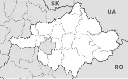
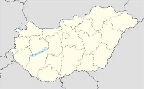
| Comitat (vármegye) |
(Grande Plaine septentrionale) |
||
| District (járás) |
Nyíregyháza | ||
| Rang | Commune | ||
| Bourgmestre (polgármester) Mandat |
Urszuly Sándorné (indépendant) (2014-2019) |
||
| Code postal | 4434 | ||
| Indicatif téléphonique | (+36) 42 | ||
| Démographie | |||
| Population | 1 723 hab. () | ||
| Densité | 46 hab./km2 | ||
| Géographie | |||
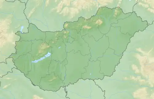
| Coordonnées | 47° 53′ 00″ nord, 21° 35′ 00″ est | ||
| Superficie | 3 724 ha = 37,24 km2 | ||
| Divers | |||
| Identités ethniques (nemzetiségi kötődés) |
Hongrois 97,1 % (2001) | ||
| Religions | catholiques 44,0 %, grecs-catholiques 26,2 %, réformés 7,4 %, évangéliques 16,0 %, sans religion 1,0 % (2001) | ||
| Liens | |||
| Site web | www.kalmanhaza.hu | ||
| Sources | |||
| Office central de statistiques (KSH) | |||
| Élections municipales 2014 | |||

Kálmánháza est un village et une commune du comitat de Szabolcs-Szatmár-Bereg en Hongrie.
Géographie
Histoire
 Portail de la Hongrie