Raning
| Raning | |
 Héraldique |
|
 Chapelle à Raning | |
| Administration | |
|---|---|
| Pays | |
| Land | |
| District (Bezirk) |
Südoststeiermark |
| Commune (Gemeinde) |
Gnas |
| Code postal | A- |
| Indicatif | 43+ |
| Démographie | |
| Population | 797 hab. |
| Densité | 97 hab./km2 |
| Géographie | |
| Coordonnées | 46° 52′ 00″ nord, 15° 49′ 00″ est |
| Altitude | 273 m |
| Superficie | 820 ha = 8,2 km2 |
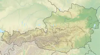
| Localisation | |


Raning est une ancienne commune autrichienne du district de Südoststeiermark en Styrie.
Le premier elle fut intégrée à la municipalité de Gnas.
Géographie
Histoire
 Portail de l'Autriche