Shotteswell
Shotteswell
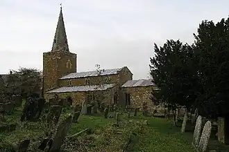
Église Saint-Laurent, Shotteswell
| Pays | |
|---|---|
| Nation constitutive | |
| Région | |
| Comté non métropolitain | |
| District non métropolitain | |
| Superficie |
5,27 km2 () |
| Coordonnées |
52° 06′ 29″ N, 1° 22′ 52″ O |
| Population |
228 hab. () |
|---|---|
| Densité |
43,3 hab./km2 () |
| Statut |
|---|
| Code postal |
OX17 |
|---|---|
| Indicatif téléphonique |
01295 |
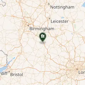
Shotteswell est un village et une paroisse civile du Warwickshire, en Angleterre. Administrativement, il dépend du district de Stratford-on-Avon.
Liens externes
 Portail de l’Angleterre