Wiang Pa Pao
| Wiang Pa Pao (th) เวียงป่าเป้า | ||
 Parc national de Khun Chae | ||
| Administration | ||
|---|---|---|
| Pays | ||
| Province | Chiang Rai | |
| Démographie | ||
| Population | 68 198 hab. (2008) | |
| Densité | 56 hab./km2 | |
| Géographie | ||
| Coordonnées | 19° 20′ 54″ nord, 99° 30′ 24″ est | |
| Superficie | 121 700 ha = 1 217 km2 | |
| Localisation | ||
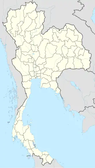
| Géolocalisation sur la carte : Thaïlande
| ||
Wiang Pa Pao (thaï : เวียงป่าเป้า ; API : wīaŋ pàː pâw) est un district (amphoe) de Thaïlande située dans la province de Chiang Rai[1]. En 2008 sa population était de 68 198 habitants.
Notes et références
- ↑ (en) « Wiang Pa Pao Map | Thailand Google Satellite Maps », sur www.maplandia.com (consulté le )
Liens externes
 Portail de la Thaïlande