Wimpassing an der Leitha
| Wimpassing an der Leitha | ||||
 Héraldique |
||||
.JPG) Église de l'Immaculée Conception de la Vierge Marie | ||||
| Administration | ||||
|---|---|---|---|---|
| Pays | ||||
| Land | ||||
| District (Bezirk) |
Eisenstadt-Umgebung | |||
| Code postal | A- | |||
| Indicatif | 43+ | |||
| Démographie | ||||
| Population | 1 549 hab. ([1]) | |||
| Densité | 196 hab./km2 | |||
| Géographie | ||||
| Coordonnées | 47° 55′ 00″ nord, 16° 26′ 00″ est | |||
| Altitude | 222 m |
|||
| Superficie | 790 ha = 7,9 km2 | |||
| Localisation | ||||
| Géolocalisation sur la carte : Autriche
Géolocalisation sur la carte : Autriche
Géolocalisation sur la carte : Burgenland
| ||||
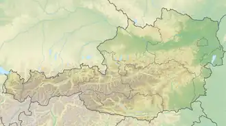

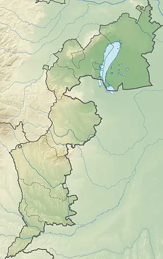
Wimpassing an der Leitha est une commune autrichienne du district d'Eisenstadt-Umgebung dans le Burgenland.
Géographie
Histoire
Notes et références
- ↑ « Einwohnerzahl 1.1.2018 nach Gemeinden mit Status, Gebietsstand 1.1.2018 », Statistik Austria (en) (consulté le )
Liens externes
 Portail de l'Autriche